...
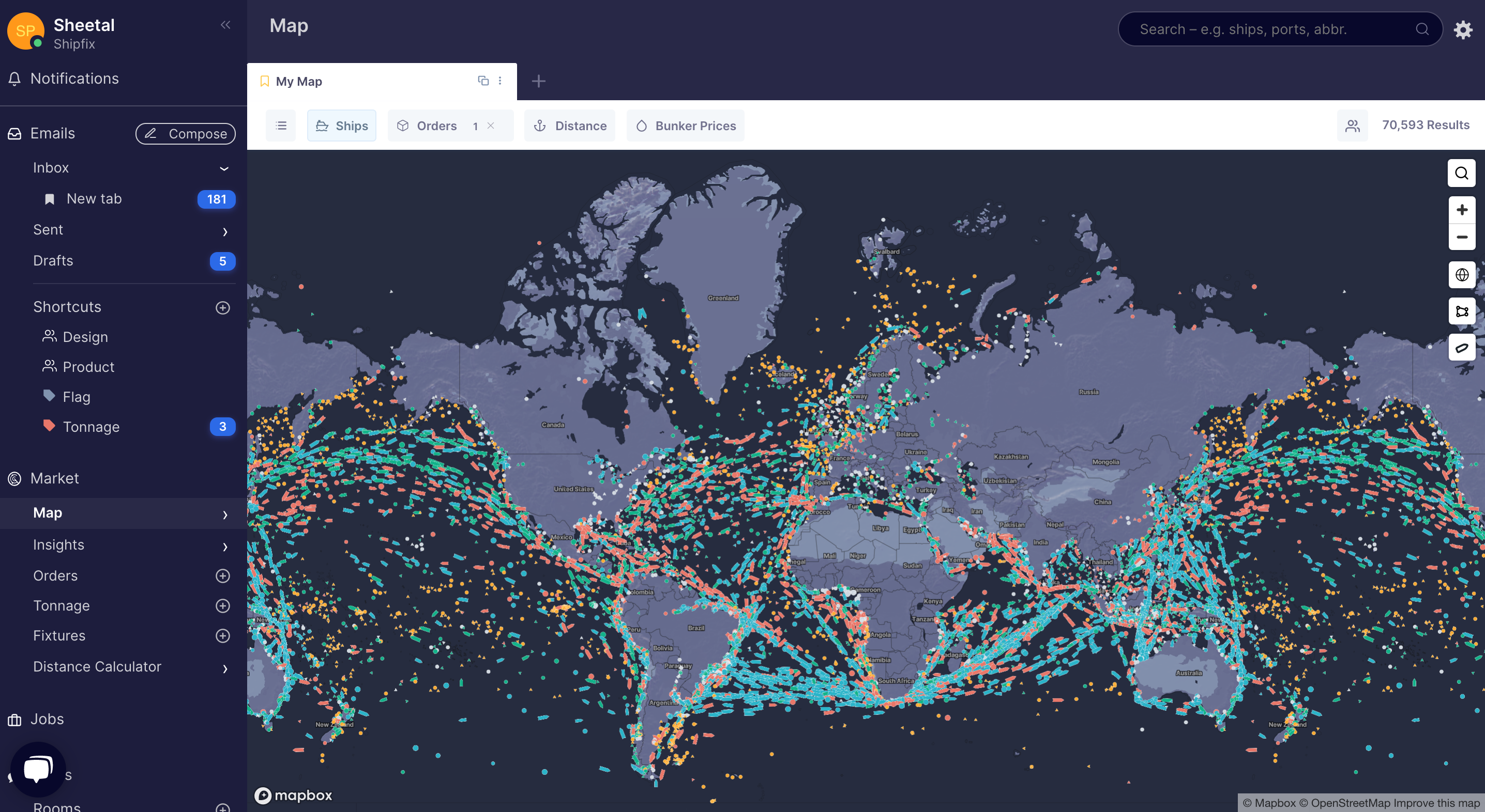
Shipfix Maps Screen provides live AIS positions of all types of vessels on the water,
The Legend below illustrates the various symbols and colours that denote a vessel size and type that can be displayed on a Shipfix map tab,
...
- locate, map and monitor individual, multiple or a fleet of vessels on the water
- locate and track vessels in pre-defined areas of the map
- find potential alternative vessels or competing vessels that fit your business preference
- perform calculations within a given ETA date range & specified destination
- locate vessels advertised to you from your emails
- run quick distance calculations
- create a heat map of all your orders or check the propensity of orders using a defined set of parameters that fit you business needs
